Difference between revisions of "Image Data"
(→Raw Image Tags Tab) |
(→Raw Image Tags Tab) |
||
| Line 70: | Line 70: | ||
<br><br> | <br><br> | ||
Image Basics are taken from the image and show the file type, dimensions and depth of colour. | Image Basics are taken from the image and show the file type, dimensions and depth of colour. | ||
| − | + | <br><br><br><br><br><br><br><br><br><br><br><br><br><br><br><br><br><br><br><br><br><br><br><br> | |
==Linked Record Tab== | ==Linked Record Tab== | ||
Revision as of 16:21, 23 April 2018
On the image toolbar there is a Data Button ![]() clicking this button will open the Image Data Information section.
clicking this button will open the Image Data Information section.
Contents
Record P1 Tab
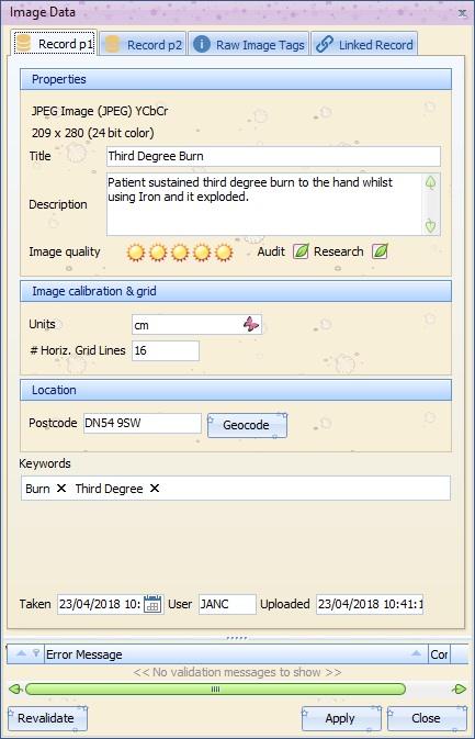
Properties
The image type and size is displayed at the top pf the P1 Properties section.
Title - Free type box enabling the user to give the image a title.
Description - Free type a description of the image.
Image Quality - Rate the image clarity & quality from 1 to 5
Audit Tick box - Tick the box to flag for Audit
Research Tick box - Tick the box to flag for Research
Image Calibration & Grid
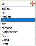
Units - Enter the units used in the image calibration 
Location
Postcode - Enter the patients Postcode, click the Geocode button ![]() to enter the GPS Data. Where only GPS data is available, this can be entered on the Record P2 tab and the postcode will be generated.
to enter the GPS Data. Where only GPS data is available, this can be entered on the Record P2 tab and the postcode will be generated.
Keywords
This is a searchable field. Type the associated keywords in to the Keywords field separated by a comma, this will save the keywords shown as "Burn X" for example.
The image taken and uploaded date and user Id will automatically be entered for audit purposes.
Record P2 Tab
Meta Data
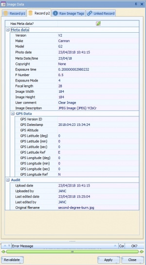
Most of the Meta data fields are automatically filled in from the image information supplied by the camera. These fields can be adjusted or manually filled in if needed.
GPS Data
The GPS data is take from the postcode filled in on the Image Data Record P1 tab. Where only GPS data is available this can be entered manually, when the ![]() button is pressed on Record P1 the postcode will be entered.
button is pressed on Record P1 the postcode will be entered.
Audit
These fields are generated when the image is uploaded.
Raw Image Tags Tab
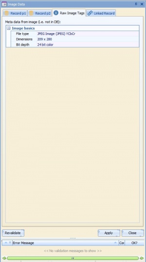
Image Basics are taken from the image and show the file type, dimensions and depth of colour.


